true
Take Charge of Your Resource Exploration Projects
DIGITALIZE YOUR RESOURCE EXPLORATION PROJECTS
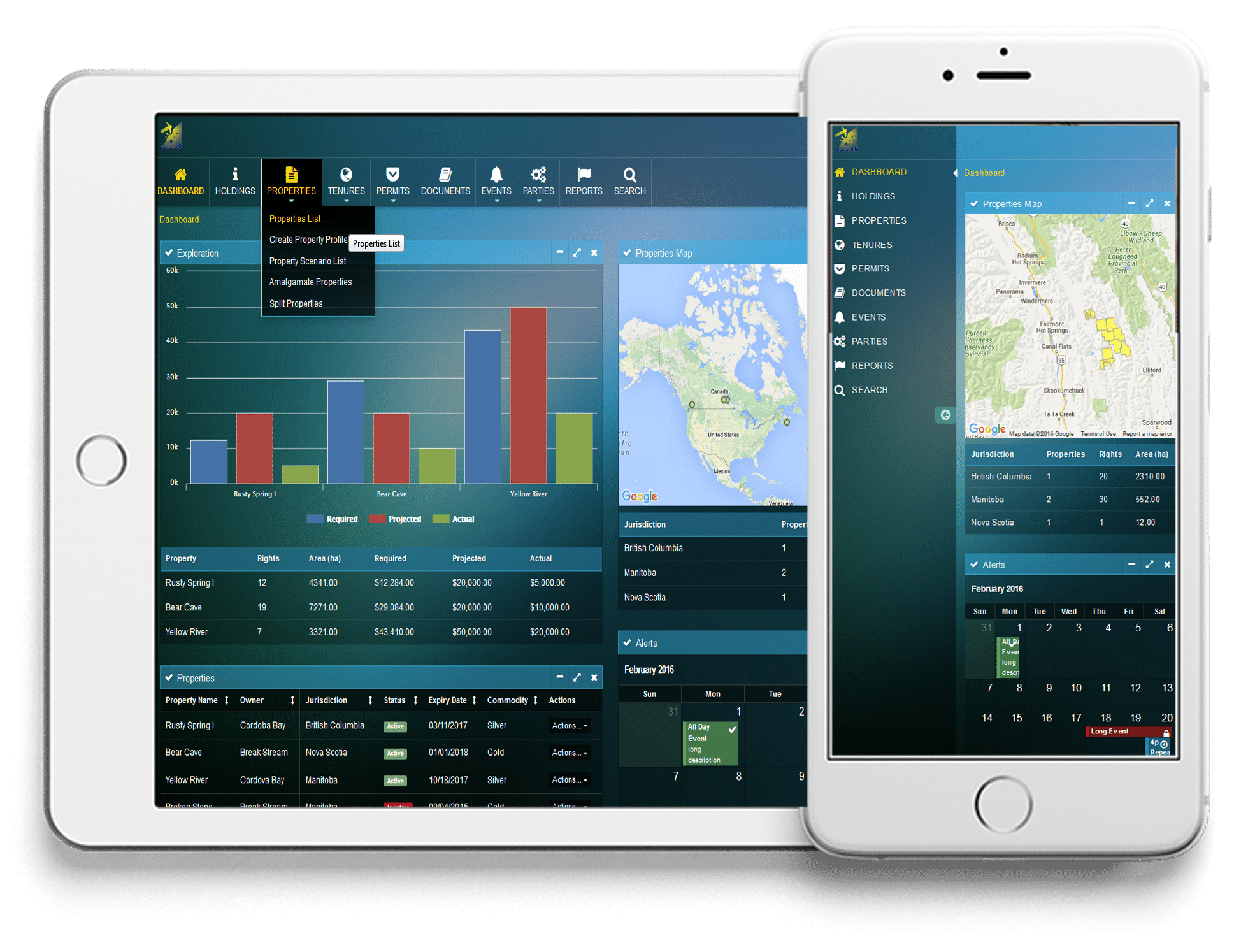
As a complex land management solution, trueMINER incorporates land, tenure and exploration activities for resource-based companies. Our highly configurable, affordable, and user-friendly system gives you the confidence you deserve through a secure and transparent environment that safeguards your data integrity. trueMINER is designed to advance and integrate the information flow between land management processes, tenure, permit, property, financial and project data, related obligations and critical dates in a cloud-based centralized location. It also enables a bi-directional, secure synchronization between its tenures' information and map representations and ESRI ArcGIS Online in real-time to guarantee data accuracy and reliability.DO MORE WITH trueMINER!
LAND MANAGEMENT FRAMEWORK
Flexible, dynamic configuration
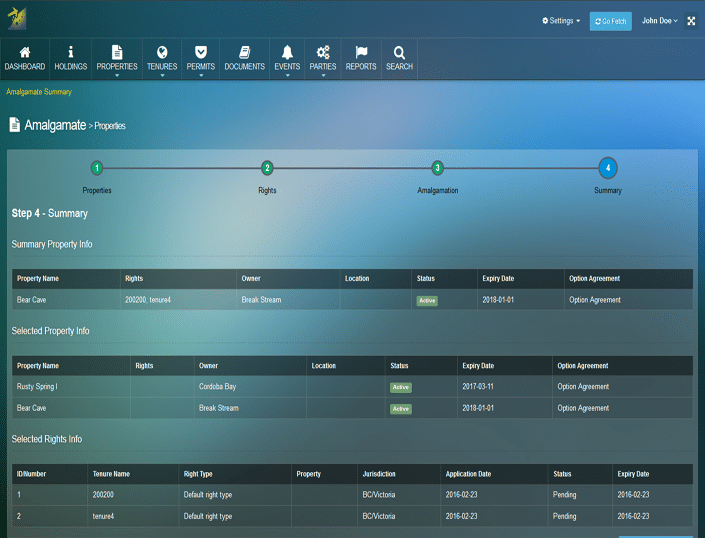
- Centralized platform for improved team work through remote collaboration and transparent access
- Scalable technology to keep up with any changes in industry regulations
- Customizable User Interfaces to match specific business and jurisdictional requirements
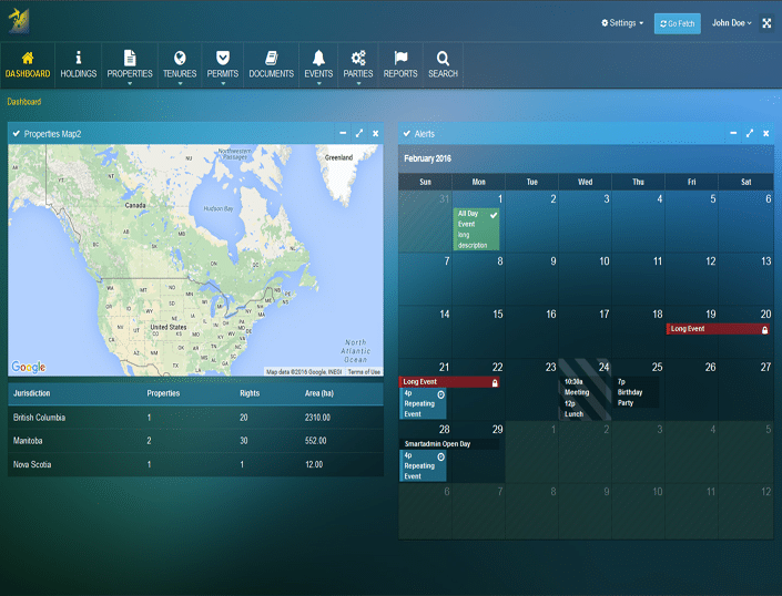
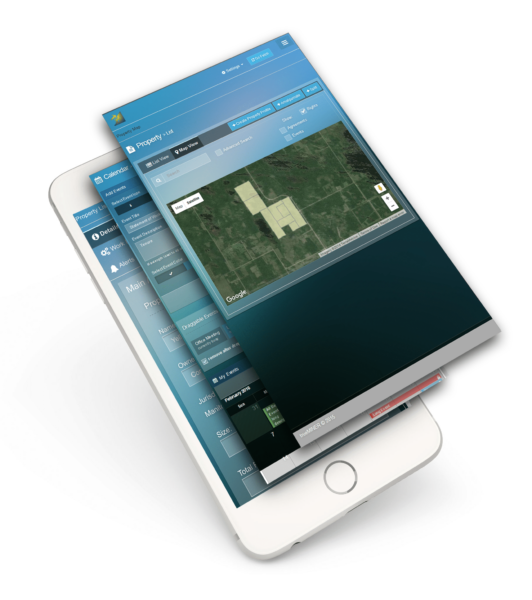
- ESRI ArcGIS Online connector to visualize land assets in interactive online map viewers
- Automatic synchronization between the tenure information and government registries for data accuracy and integrity
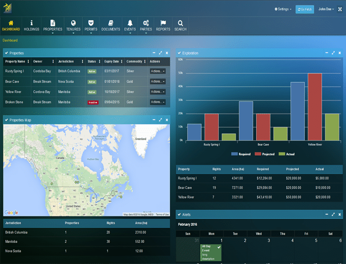
- Informative dashboards with a dynamic status of notifications, obligations, applications and tenures/rights
- Automated data calendar for monitoring obligations
- Alerts & notifications to coordinate projects with tight deadlines
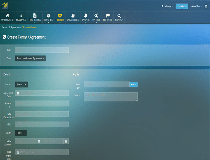
- Complex searches and shareable filters for maximum flexibility in using standard or customized reporting
- Configurable reporting tool customized to match specific jurisdictional requirements and access strategic data
- Robust cloud architecture for secure data management
VERIFIABLE COST BENEFIT
trueMINER ADDS VALUE AND TRACKS THE ADVANCEMENT OF YOUR PROJECTS
trueMINER dynamically tracks all exploration activities across multiple jurisdictions for start-ups and major resource-based companies. It manages your project information, documents and data from mineral exploration to decision-making through a common, user-friendly online platform.
Highly configurable and scalable to meet your unique business style, trueMINER uses a responsive web design approach to provide an optimal viewing and interaction across a wide range of devices. Our mobile compatible, cloud-capable, and GIS-enabled solution is also powered by business process management (BPM) technologies to align your business processes with your company’s goals. Additionally, trueMINER provides a bi-directional, secure synchronization between its tenures’ data and geometry and ESRI ArcGIS Online in real-time for an efficient and accurate data update.
trueMINER’s modular structure coupled with the latest technologies and our extensive domain experience in implementing systems for regulatory agencies ensure that you remain competitive in a technologically challenging business environment.
Video TourTHE POWER OF trueMINER
NOW YOU CAN WORK ANYWHERE
trueMINER brings together the Property perspective and Tenure Management with the Exploration activities. The flexibility of trueMINER allows me to configure the application to meet my business decision-making model, generate summary dashboard reports and never miss a deadline."Jim Turner, trueMINER

We developed trueMINER to provide an optimal viewing and interaction experience across a wide range of devices. The newest trueMINER feature enables a bi-directional, secure synchronization between the tenures' data and geometry and ESRI ArcGIS Online in real time for an efficient and accurate data update."Andy Lang, trueMINER

Bold & Elegant Design
ROBUST FUNCTIONALITY